Rains, wind gusts expected from 'habagat,' Tropical Depression Neneng
The low pressure area inside the Philippine Area of Responsibility (PAR) developed into a tropical depression on Tuesday afternoon, and has been named Neneng.
Philippine News Agency
18 August 2026 at 20:33:42

Police personnel in Pangasinan assist in the evacuation of families in some parts of the province on Monday and Tuesday (Aug. 17 and 18, 2026) due to rising flood waters, according to the Facebook post of the Philippine News Agency.
Philippine News Agency
The low pressure area inside the Philippine Area of Responsibility (PAR) developed into a tropical depression on Tuesday afternoon, and has been named Neneng.
It was located 1,025 kilometers east of extreme Northern Luzon, moving northwest at 20 kilometer per hour (kph), according to the Philippine Atmospheric, Geophysical and Astronomical Services Administration (PAGASA).
The cyclone packs maximum sustained winds of 45 kph near the center, and gustiness of up to 55 kph.
No wind signal is hoisted on any part of the country, the PAGASA said.
However, most parts of the country will experience strong to gale-force gusts due to the enhanced southwest monsoon or "habagat".
Rough seas will prevail across the seaboards of Zambales and Lubang Islands; the western seaboards of Pangasinan and Bataan; seaboards of Ilocos Norte, Ilocos Sur, and Kalayaan Islands; the western seaboards of Babuyan Islands, Occidental Mindoro, Calamian Islands, northern Palawan, and Davao Oriental.
PAGASA advised mariners of motorbancas and similarly sized vessels to take precautionary measures while venturing to the sea.
Meanwhile, PAGASA said Neneng will remain far from landmass, and thus unlikely to make landfall.
The cyclone is forecast to weaken into a remnant low on Thursday, it said. -Paraluman News
LATEST NEWS

Seven dead in England after car traveling wrong way hits police car

Luzon to experience rain brought by 'habagat'
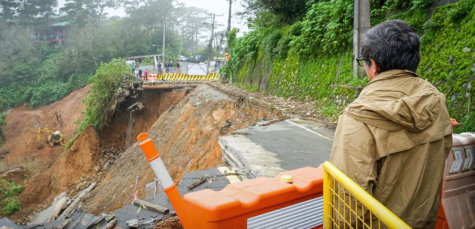
DPWH explores modern mountain technology to curb landslides
TOP SPORTS NEWS

Trump caps US' 250th birthday with car race in Washington

BOXING: Former world champion Tete shot dead outside South Africa home

FIGURE SKATING: Japan champions Miura, Kihara to marry
Paraluman News Publication, Inc.
desk@myparaluman.ph
Tektite Towers (East), Exchange Road
Ortigas Center. San Antonio 1600
City of Pasig, NCR, Philippines
+63284298877
EXPLORE
Editorial Standards and Code of Ethics
Privacy Policy
User Policy
COMMUNITY
Contributor and Campus Voices Terms
Advertise with Paraluman News
ACCOUNTABILITY & SAFETY
Submit a Claim for Fact-Checking
© 2026 Paraluman News Publication